

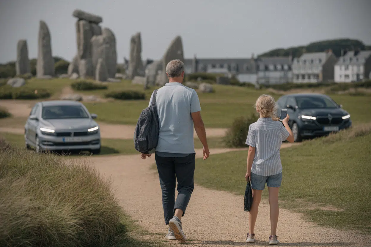
July 12, 2026 marks one year since the megaliths of Carnac and the shores of France’s Morbihan were added to UNESCO’s World Heritage List. The designation covers more than 550 monuments spread across a vast area—from the Étel River to the Rhuys Peninsula—across more than 1,000 square kilometers, about 386 square miles.
The international recognition is drawing a broader audience to Brittany’s prehistoric stone landscapes. It’s also forcing very practical conversations about traffic, access, and how to protect sites that are often open, unfenced, and woven into everyday life.
Here are the key places to see the stones—and what’s shifting for visitors a year into the UNESCO era.
Carnac is organizing visits around the Ménec alignments
Carnac remains the most obvious gateway to the megaliths. Its alignments—especially the Ménec rows—are the best-known face of the UNESCO listing. The experience here is less about a single monument and more about long sightlines, repeated stone rows, and reading the landscape at the scale of an entire territory.
That format draws visitors who come as much for photography as for history, which increases pressure during peak hours. Since the UNESCO inscription, local elected officials and site managers have emphasized a strategy of channeling visitor flows—no small task in a landscape with multiple access points and long-standing local uses.
The UNESCO label doesn’t mean everything suddenly becomes paid or uniformly marked. But it does require a management plan and tighter coordination among stakeholders. The bid, led by the association Paysages de Mégalithes, is built on a collective that includes 28 municipalities, the departmental and regional governments, the French state, and heritage operators—aimed at harmonizing protection rules and visitor routes without freezing access.
For many travelers, the practical question is simple: where can you “see the stones” without ending up in a packed zone? In Carnac, the answer increasingly points to spreading visits across the day, approaching on foot or by bike, and taking time to interpret what’s on the ground. The alignments are still the centerpiece, but managers encourage pairing them with nearby, less concentrated sites to avoid reducing the visit to a single snapshot.
A quieter concern is the fragility of the areas around the stones. Soils, embankments, fences, and informal access points take a beating as foot traffic rises. Managers are trying to balance visibility, visitor comfort, and preservation—because damage to an archaeological landscape can happen just yards from the monuments themselves.
Plouharnel’s “human-scale” sites draw visitors outside peak season
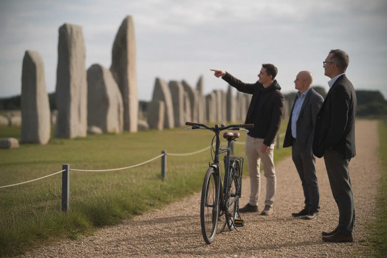
A few miles away, Plouharnel offers a different kind of discovery—less monumental at first glance, but useful for understanding the breadth of the UNESCO dossier. Visitors encounter dolmens and smaller structures threaded through a network of paths, stone walls, and parcels of land, an approach that appeals to people looking to avoid the biggest crowds.
The dolmen known as Rochers du Diable, often highlighted in local itineraries, can serve as a starting point for a broader half-day exploration. The idea isn’t to “check off” one monument, but to link several stops with walking and viewpoints. The mix of coastal and inland settings is a reminder that the UNESCO property isn’t one single zone—it’s a coherent set of places connected across time and space.
A familiar pattern tends to follow a major designation: visitors initially cluster around the names already in the spotlight, then shift toward secondary sites once they arrive. Tourism offices and local associations often see more specific questions—about access, parking, and visiting conditions—rather than just requests for a list of places. That shift is pushing municipalities to publish clearer maps and better-prioritized routes.
Environmental pressures matter here, too. Some sectors face erosion, trampling, and conflicts of use, especially where paths serve walkers, residents, and agricultural operations at the same time. Management often comes down to practical tweaks: light barriers, discreet signage, maintaining access points, and occasional temporary restrictions during conservation work.
For visitors, Plouharnel’s appeal is a calmer experience that encourages observation and understanding of the forms. The megaliths feel less like a spectacle and more like heritage embedded in a living landscape—one of the core ideas of the UNESCO listing.
Locmariaquer links the Grand Menhir to coastal burial mounds
Locmariaquer sits at the center of many itineraries because it brings together several emblematic monuments in an easy-to-read setting. The area is associated with the Grand Menhir and major funerary complexes, including tumuli—burial mounds that convey the scale of prehistoric architecture.
One year after the UNESCO inscription, the core question is the same as elsewhere: how to welcome visitors without causing damage. In Locmariaquer, the challenge is heightened by the concentration of points of interest in a relatively accessible area, which can produce sharp spikes in attendance. Managers generally favor circuits that spread people across multiple sites rather than funneling everyone to a single viewpoint.
The site also lends itself to straightforward interpretation. Visitors can observe structures, dimensions, orientations, and construction methods—an approach that moves beyond the vague “mystery” framing sometimes attached to megalithic monuments. Explanations rely on archaeology, comparisons of forms, dating, and how landscapes have changed over millennia.
Locmariaquer also illustrates the link between heritage tourism and the local economy. UNESCO recognition can accelerate visitation—and with it, spending on restaurants, lodging, and services. But the increase can strain the coast, especially parking and access. Local governments often try to steer visitors toward lower-impact transportation or overflow parking, depending on real capacity.
Within the UNESCO perimeter, Locmariaquer shows the diversity of forms—isolated or broken menhirs, tumuli, dolmens—and a setting where the sea and nearby islands are part of the experience. The contrast between ancient monuments and modern infrastructure makes today’s balancing act visible: protecting a major heritage landscape without turning the territory into a frozen set piece.
Gavrinis and Er Lannic highlight the Gulf of Morbihan’s island archaeology
The cairn of Gavrinis and the cromlechs of Er Lannic reveal another side of Morbihan’s megaliths: island sites tied to the Gulf of Morbihan. Gavrinis, often described as a must-see, typically involves a boat crossing followed by a visit to a monument with heavy heritage significance. Arriving by water heightens the sense of place, but it also makes access dependent on practical constraints—schedules, weather, and capacity.
Er Lannic adds a dramatic element: cromlechs that are partly submerged. The site points to a physical reality—sea levels have changed, landscapes have shifted, and some remains now sit underwater or at the waterline. That makes conservation more complex, forcing choices about what to show, what to protect, and what to document without putting the public at risk.
Post-UNESCO visitation is also pushing managers to clarify rules. In island areas, they must juggle navigation, safety, landings, and ecological fragility. Organizations named in the management plan—including France’s Conservatoire du Littoral (a coastal land conservation agency) and the Centre des Monuments Nationaux (the national body that manages many historic sites)—handle concrete issues such as land control, maintenance, limiting certain access points, and adapting interpretation.
For visitors, the payoff is a broader understanding: the UNESCO property isn’t limited to Carnac. It tells the story of a territory where monuments line shores, islands, and headlands. Maps published by local media and institutions are responding to a growing demand—where to go without getting lost, and how to connect multiple sites in a coherent loop rather than wasting time on unnecessary backtracking.
These island sites also raise a calendar question. Summer peaks don’t always match the conditions for an attentive visit—or the capacity of the places themselves. Residents and tourism professionals often point to better comfort in spring and early fall. UNESCO recognition can help spread the season, easing pressure on some sites while requiring reliable visitor information over a longer stretch of the year.
Arzon, Bono, and the Gulf islands offer alternatives to the busiest stops
For travelers looking beyond the most publicized hubs, several sites within the UNESCO perimeter make it possible to build more varied itineraries. The cairn of Petit-Mont in Arzon—known for overlooking the entrance to Port du Crouesty—pairs a strong viewpoint with a clear sense of how monument and coastal landscape connect. Its accessibility and proximity to tourist infrastructure also make it vulnerable to heavy summer crowds.
Bono is often mentioned for a dolmen beneath a tumulus in a more understated setting. In areas like this, the experience depends heavily on the quality of paths and signage. The challenge is to inform without overbuilding—avoiding visual “over-equipping” of the landscape while ensuring visitors stay on authorized routes.
The islands of Arz and Île-aux-Moines round out the picture, underscoring that megalithic density isn’t only on the mainland. For visitors, that means planning around crossings, schedules, and time on the ground. For managers, it requires coordination across heritage, mobility, and environmental concerns—because these islands face preservation pressures that go beyond archaeology, including biodiversity, trail wear, real estate pressure, and waste management.
The governance framework tied to the UNESCO inscription—bringing together 28 municipalities and intermunicipal bodies such as Golfe du Morbihan Vannes Agglomération—aims to prevent competition between sites. The goal is to spread attention, steer visitors toward less saturated places, and encourage longer stays. For tourism professionals, that approach supports coherent offerings that link multiple towns without reducing Morbihan to a single famous name.
One year in, the most visible change may be how visitors plan. Demand for a “site map” is rising, along with searches for specific places—Gavrinis, Locmariaquer, Petit-Mont. That specificity suggests a more informed public: people aren’t just coming to see “menhirs,” they’re seeking identified complexes, viewpoints, and local stories. If paired with clear guidance on respectful behavior, that shift could strengthen protection rather than weaken it.
Key takeaways
The megaliths of Carnac and southern Morbihan have been on UNESCO’s World Heritage List since July 12, 2025. The perimeter includes more than 550 monuments across more than 1,000 square kilometers (about 386 square miles). Carnac remains the main entry point, with major challenges around crowd flow and preservation. Gavrinis and Er Lannic showcase the island and maritime dimension of the UNESCO property, while Arzon, Bono, and the Gulf islands offer routes designed to help visitors avoid the most saturated areas.
Sources
Carnac (56340) : actualités et infos de votre ville en continu – ICI; CARTE – Les mégalithes de Carnac en bonne voie pour être classés …; Mégalithes du Golfe du Morbihan : vers une inscription à l’UNESCO ?; Les mégalithes du Morbihan au patrimoine de l’UNESCO; Paysages de Mégalithes | Carnac | Site UNESCO en Morbihan
Key Takeaways
- The megaliths of Carnac and southern Morbihan have been listed as a UNESCO World Heritage Site since July 12, 2025.
- The designated area includes more than 550 monuments across over 1,000 km².
- Carnac remains the main gateway, with challenges related to visitor flow and preservation.
- Gavrinis and Er Lannic highlight the site's island and maritime character.
- Arzon, Bono, and the islands of the Gulf offer routes to help avoid overcrowding.
Sources
- Carnac (56340) : actualités et infos de votre ville en continu – ICI
- CARTE – Les mégalithes de Carnac en bonne voie pour être classés …
- Mégalithes du Golfe du Morbihan : vers une inscription à l'UNESCO ?
- Les mégalithes du Morbihan au patrimoine de l'UNESCO
- Paysages de Mégalithes | Carnac | Site UNESCO en Morbihan