

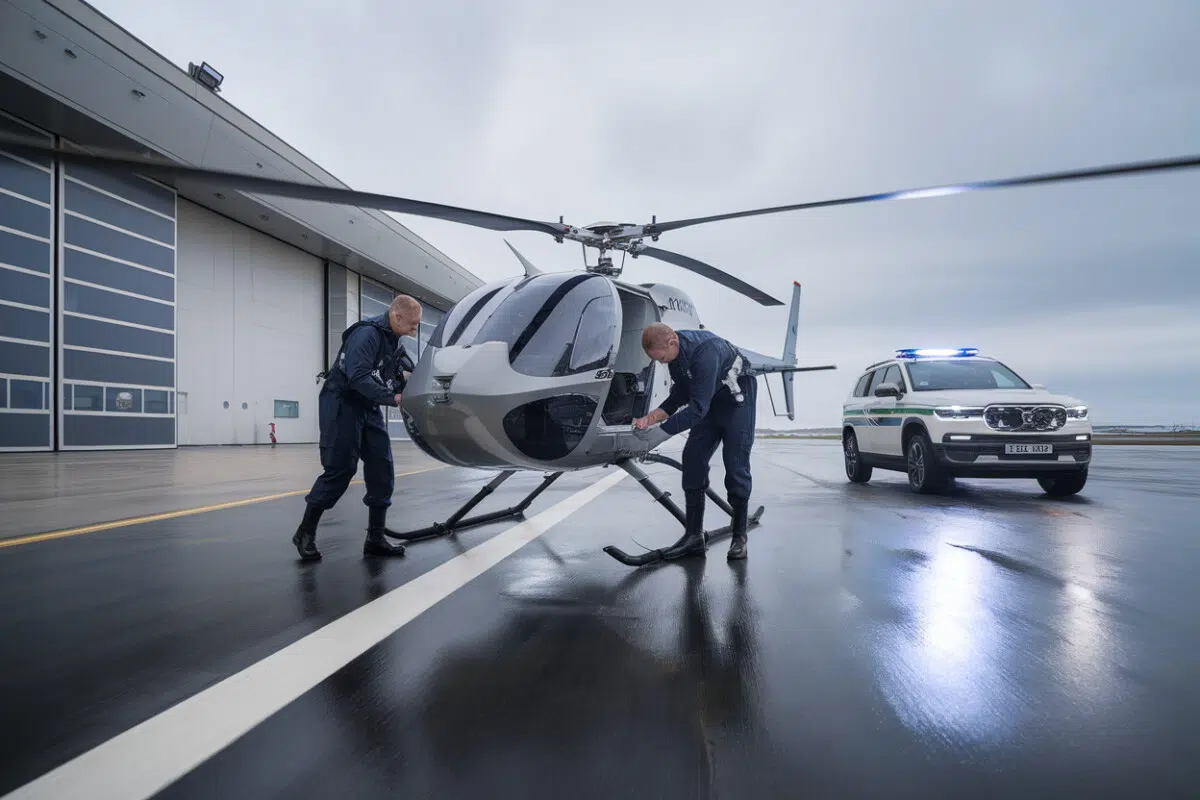
A helicopter-style drone is now patrolling one of the world’s busiest, and most politically sensitive, stretches of water: the North Sea.
Belgium has begun operating the Schiebel Camcopter S-100 from the coastal base at Lombardsijde, aiming to spot pollution, track suspicious vessels, and help coordinate maritime responses faster than relying solely on crewed aircraft and patrol ships. The pitch is simple: get eyes on a problem in minutes, not hours, and share what the drone sees instantly with the people who can act on it.
The move also reflects a broader European push to tighten maritime monitoring as commercial shipping, fishing traffic, and security concerns collide in crowded waters just off the continent’s northern coastline.
A new home base means faster launches, and more routine missions
Until now, the S-100 had been operating out of Cap Gris-Nez on France’s northern coast. Shifting the drone to Belgium isn’t just a change of scenery; it’s a logistics upgrade that can make the difference between a drone sitting on the ground and one getting airborne quickly.
Based at Lombardsijde, the aircraft can be supported with dedicated crews, maintenance, hangar space, and tighter coordination with maritime monitoring centers. In a region where an oil sheen can drift and a vessel can change course fast, those saved minutes can matter.
Belgian and partner agencies highlighted the drone’s role at a May 19 conference focused on “MMO” capabilities, short for maritime monitoring and oversight, bringing together coast guard and maritime security players who often have to operate across overlapping jurisdictions.
Zooming in from more than half a mile away
The operational selling point is the camera. The Camcopter S-100 carries high-precision optics that can zoom in and help identify a ship from more than 0.6 miles away (over 0.6 miles/1 kilometer), allowing operators to collect detailed imagery without closing in.
That standoff distance reduces risk, avoids interfering with heavy traffic, and can help document potential pollution incidents, oil slicks, suspicious discharges, and other visible traces, quickly enough to preserve evidence for inspectors and enforcement agencies.
Belgian officials also describe the drone as useful for tracking “suspicious” vessels, including ships linked by authorities to Russia’s so-called “shadow fleet,” a term used in Europe for opaque shipping networks accused of skirting sanctions and masking ownership or cargo movements. The drone doesn’t make the case by itself, but it can capture behavior, unusual routes, prolonged stops, ship-to-ship meetings, and feed that intelligence to decision-makers who can cross-check it with other data.
Real-time video goes straight to key Belgian maritime hubs
The biggest shift may be less about flight time and more about information flow. Video and imagery from the S-100 are distributed immediately through a secure portal that multiple agencies can access at the same time.
Two major recipients are the MRCC in Ostend, Belgium’s Maritime Rescue Coordination Center, similar in function to U.S. Coast Guard rescue coordination centers, and the MIC in Zeebrugge, which coordinates coastal security operations. Instead of waiting for a verbal report or a manual file transfer, both centers can watch the same live feed and make faster, more aligned decisions.
That shared picture can speed search-and-rescue tasking, help direct patrol boats or helicopters, and create a clearer record of why officials chose one response over another. But it also raises the stakes for cybersecurity and access control: the more widely sensitive imagery is shared, the more disciplined agencies have to be about who can see it, store it, and act on it.
A 440-pound drone built for long missions, and a multi-million-dollar price tag
This isn’t a hobby drone. The Camcopter S-100 is a tactical reconnaissance UAV with a maximum takeoff weight of about 440 pounds (200 kilograms), an endurance of up to six hours, and a top speed around 137 mph (about 220 km/h). It can fly autonomously or be remotely piloted, using GPS and inertial navigation to stay stable, critical over water where wind and visibility can change quickly.
Its payload capacity is roughly 110 pounds (about 50 kilograms), enough to carry electro-optical and infrared sensors depending on the mission. One commonly cited unit cost is about €4.2 million, roughly $4.6 million, depending on configuration, before factoring in training, spare parts, and ongoing maintenance.
Schiebel, the Austrian manufacturer, says the system is interoperable under NATO’s STANAG 4586 standard and can have a data-link range up to about 124 miles (200 kilometers), a spec that matters for coast guard-style missions that may need coverage far from shore.
Pollution, illegal fishing, migration, and the limits of what a drone can do
Belgium is positioning the S-100 as a flexible tool: pollution surveillance, illegal fishing checks, monitoring suspicious ships, support in maritime crises, and assistance tied to irregular migration routes. The common thread is triage, getting a verified visual quickly so authorities can decide what’s real, what’s urgent, and what resources to send.
That matters because patrol ships can’t be everywhere, and sending them on blind leads burns time and money. A drone can scan wide areas, then narrow in on a target, helping commanders prioritize inspections and interceptions.
But even supporters stress the hard limit: a drone can observe and document, not board a vessel or stop one. In the North Sea, where enforcement, rescue, and security often depend on who has assets available at the moment, the S-100 may sharpen decision-making. Whether it changes outcomes will still hinge on what’s waiting over the horizon to respond.
Key Takeaways
- The Schiebel Camcopter S-100 is now based in Lombardsijde for missions in the North Sea
- Its camera can zoom in and identify a vessel from more than a kilometer away
- The footage is shared in real time via a secure portal to Ostend and Zeebrugge
- The S-100 has a maximum takeoff weight of about 200 kg and up to 6 hours of endurance
- The drone supports MMO missions, pollution response, fisheries, maritime security, and crisis management
Frequently Asked Questions
What changes with the deployment of the Schiebel S-100 in Lombardsijde?
Basing the drone in Lombardsijde makes it more readily available for routine missions over the North Sea, with dedicated logistics and crews. This shortens the time between a report, observation, and the transmission of imagery to coordination centers, compared with more occasional use from Cap Gris-Nez.
Is the S-100 used only for pollution monitoring?
No. The announced missions also include detecting suspicious vessels, monitoring fishing activity, supporting efforts against illegal immigration, and managing crises at sea. The idea is to use a single platform for multiple needs, adapting surveillance and data sharing accordingly.
The images are transmitted through a secure portal that multiple partners can access in real time. The MRCC in Ostend, focused on maritime search and rescue, and the MIC in Zeebrugge, responsible for coastal security coordination, can use the feed simultaneously to speed up decisions and the deployment of assets.
What are the main characteristics of the Camcopter S-100?
The Camcopter S-100 is a tactical reconnaissance helicopter drone that can be programmed for autonomous flights or remotely piloted. It has a maximum takeoff weight of about 200 kg, an advertised endurance of up to 6 hours, and a top speed of around 220 km/h, with sensors suited to maritime surveillance.
Can a drone like the S-100 replace patrol boats in the North Sea?
No. The drone improves surveillance, image collection, and the prioritization of responses, but it does not intercept vessels or conduct physical inspections. Patrol boats and other assets remain essential for operations at sea, with the drone serving as a sensor and coordination support tool.